


Agriculture on Europe's peatlands?
by Nina Körner (comments: 0)
New map shows where
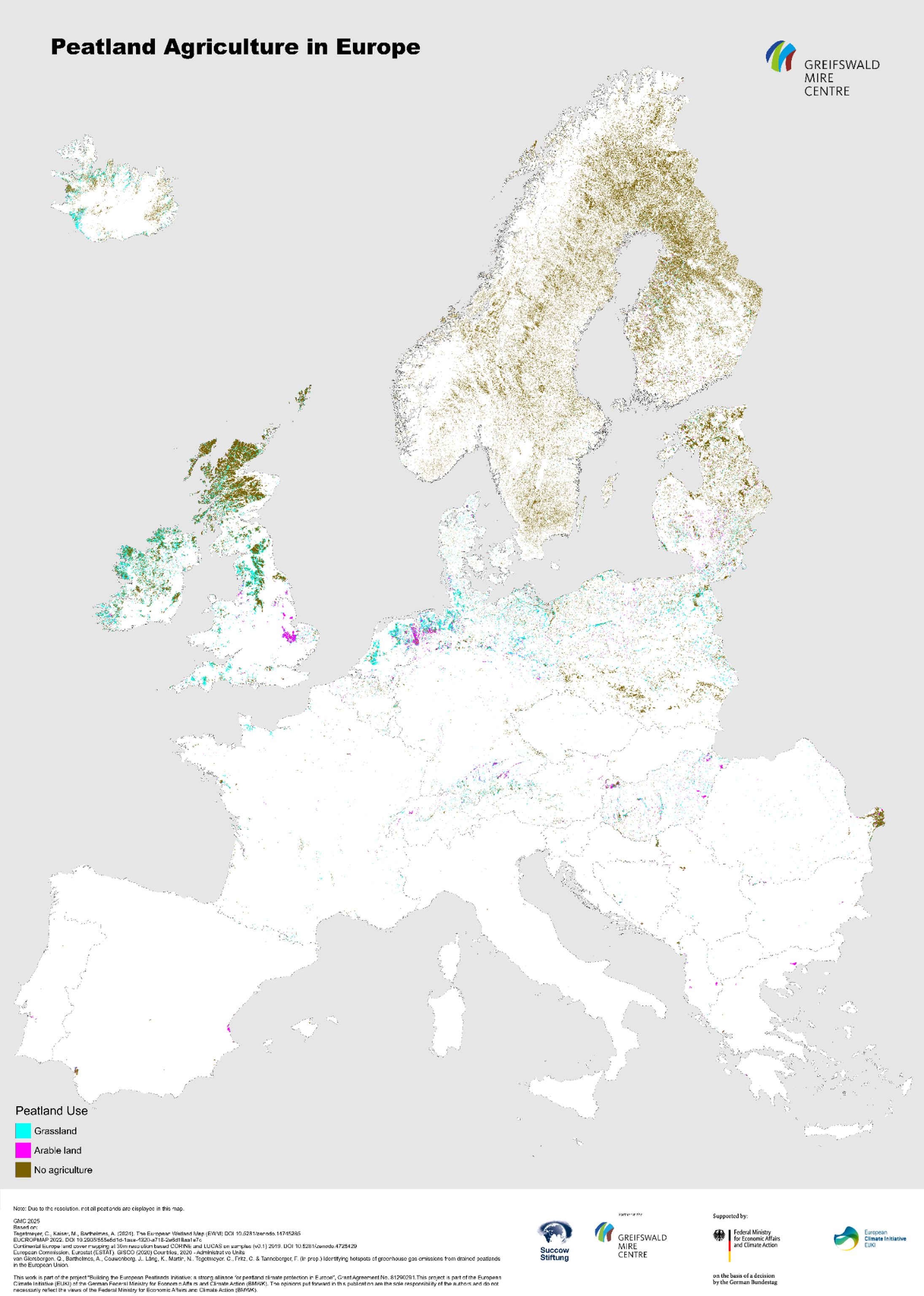
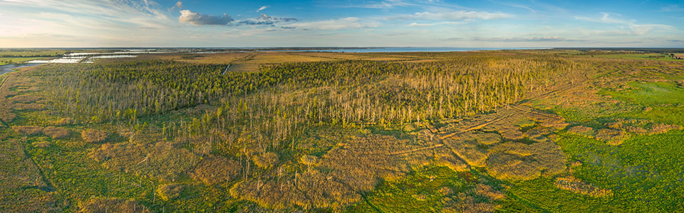
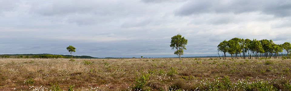
1/09/2025 Across Europe many wetlands are drained for agriculture, releasing vast amounts of CO₂ into the atmosphere. Identifying where these drainage “hot spots” occur—whether for arable crops or grassland—is critical to promoting wet alternatives such as paludiculture. As part of the project Building the European Peatlands Initiative: A Strong Alliance for Peatland Climate Protection in Europe, researchers have combined the latest European Wetland Map with land cover data to produce a new map showing the agricultural use of peatlands in the European Union and several neighboring countries (Verlinkung von GMC). This map offers valuable insights for policymakers, conservationists, and the interested public seeking sustainable solutions. The map is based on data from the Global Peatland Database (GPD), which collates and integrates data on location, extent and drainage status of peatlands and organic soils worldwide and for 268 individual countries and regions.
The project is part of the European Climate Initiative (EUKI), funded by the German Federal Ministry for Economic Affairs and Climate Action (BMWK) and implemented by the Deutsche Gesellschaft für Internationale Zusammenarbeit (GIZ) GmbH. Project partners include Eurosite, CEEweb and the European Landowners’ Organization (ELO).
The respective Geodata for the EPM 2025 can be downloaded on our website.